Reading Time: 4 minutes
The possibility of an extreme weather event or a natural disaster, and how best to prepare for and respond to such an event should be part of planning a bushwalk.
This is especially important for:
- trips during the bushfire season
- trips during the cyclone* season
- trips to difficult to access areas
- extended or remote area trips.
*Cyclones are called hurricanes or typhoons in other parts of the world. All are severe tropical storms. The cyclone season is the off season for bushwalks in northern Australia.
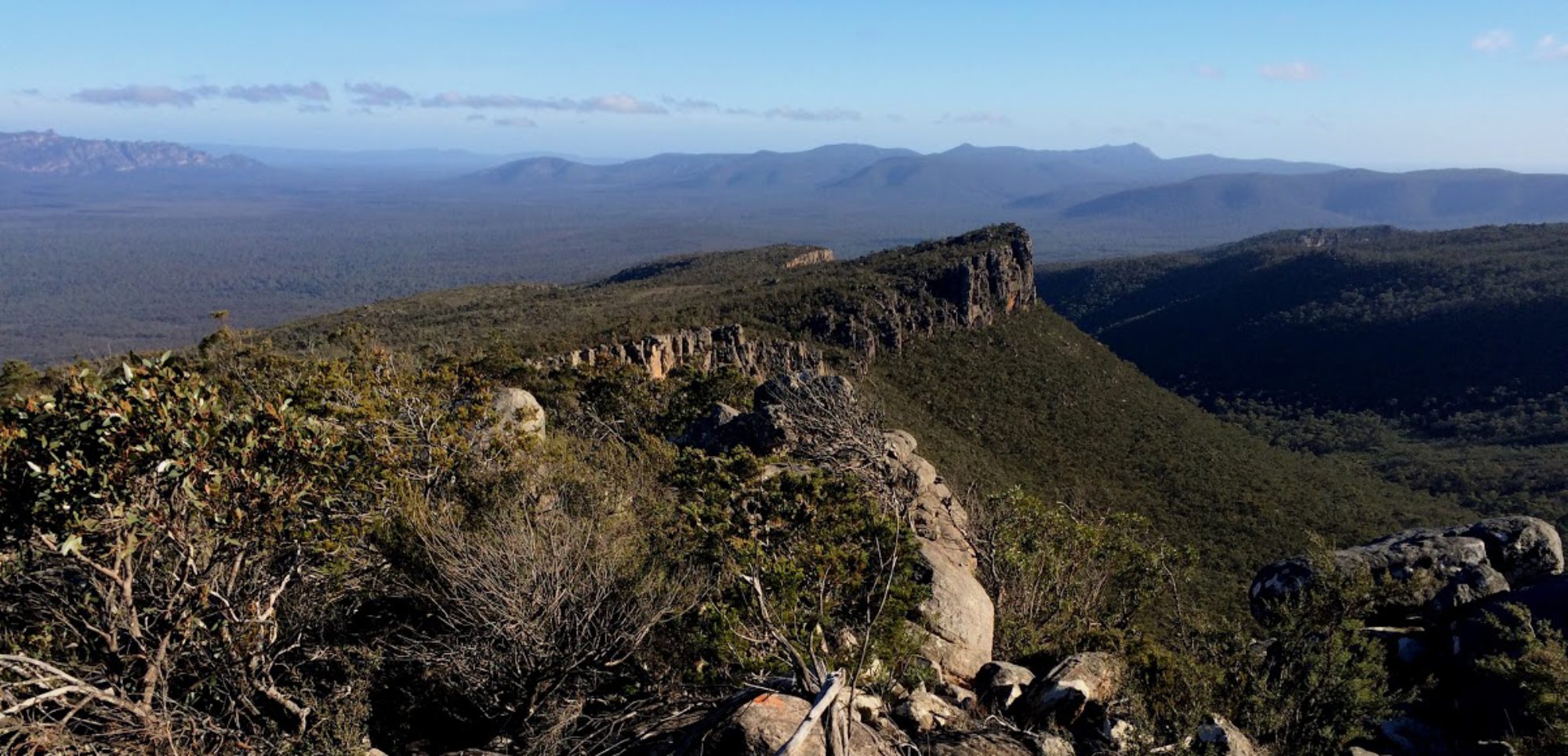
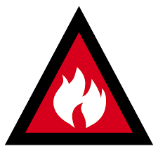
Bushfire season and bushwalking
In southern and eastern Australia, the severity and timing of the bushfire season varies depending on the location. It can be much worse in some years.
The bushfire season generally corresponds with the best and most popular times of the year to go bushwalking; spring through to autumn.
Hence bushwalkers need to be particularly cognisant of the risk of bushfire, very hot weather and High, Extreme or Catastrophic Fire Danger Ratings. The possibility of any or all of these must be taken into account when planning a trip.
Forecasts and emergency warnings
Leaders, group members and vehicle drivers should have access to and be thoroughly familiar with:
- Bureau of Meteorology forecasts and weather warnings.
- Install the Emergency app for each State to be visited, to access fire and weather warnings: New South Wales, Queensland, South Australia, Tasmania, Victoria; West Australia.
- Use appropriate State Emergency Apps to:
- Understand emergency information and warnings.
- Set a Watch Zone – a designated area for warnings and updates to be received via an alert from the app. Most state apps have this option.
- If conditions are threatening, a mobile phone needs to be left on to receive these messages.
- NOTE: The Watch Zone should be set no larger than necessary, otherwise irrelevant alerts will be received. Aside from being distracting, these will drain the phone battery.
- The State’s site detailing road closures.
The Fire Danger Rating scale must be understood:
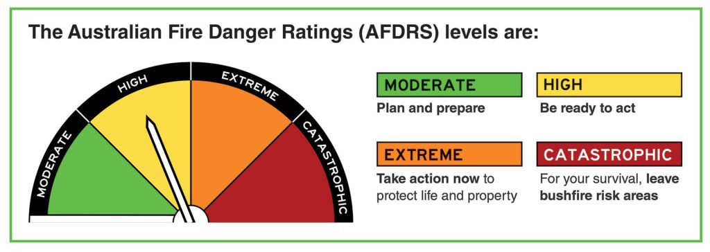
- Moderate: Plan and prepare.
- High: Prepare to act.
- Extreme: Take action now to protect your life and property.
- Catastrophic: For your survival, leave bushfire risk areas.
Warning symbols indicate level of hazard including bushfire threat used on Emergency Apps in Australia
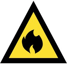
Advice (Yellow):
An incident has started. There is no immediate danger. Stay up to date in case the situation changes.
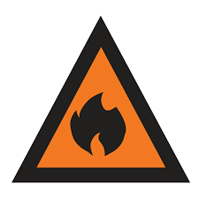
Watch and Act (Orange):
There is a heightened level of threat. Conditions are changing and you need to start taking action now to protect you and your family.
Emergency Warning (Red):
An Emergency Warning is the highest level of warning. You may be in danger and need to take action immediately. Any delay now puts your life at risk.
Trip planning and extreme weather events, bushfire or natural disaster
Trip planning must consider if an extreme weather event, bushfire or other natural disaster:
- Has occurred in the area before the trip has started
- Is forecast to occur prior to departing on the trip
- Develops while the trip is in progress.
Appropriate actions for each of these circumstances are described below.
1. Has occurred in the area before the trip has started
The trip will probably need to be cancelled, postponed or relocated.
The State’s Emergency, Land Management and Road Closures websites should provide sufficient information to confirm a decision to cancel the trip; otherwise contact the land manager.
Tracks or roads may be inaccessible or closed for safety reasons due to flood, storm or fire damage, danger from falling trees, etc, for a significant period. Infrastructure may be damaged and water supplies polluted or damaged.
Bushwalkers must adhere to closures of National Parks, roads and tracks.
During a bushfire, fire retardant is often dropped by aircraft to effectively protect bush huts and other infrastructure. As a result, fire retardant gets into water supplies or tanks near the hut. General information on fire retardant is available in this article: Fire retardants and water sources.
2. Forecast to occur prior to departing on trip
DON’T BE THERE is the only safe course of action – cancel the trip.
Bushwalkers in an area facing an extreme weather event or threatened by bushfires place themselves at great risk and are an unnecessary additional burden on emergency services if they could have avoided being there.
Cancel the trip if the Fire Danger Rating for the area is Catastrophic or Extreme.
If a trip permit has been obtained, ensure that land managers and your trip contact are informed that you are not in the area. This will ensure emergency services don’t try to locate and evacuate a group that isn’t there.
National Parks are often closed when severe weather is forecast, such as Catastrophic Fire Danger Rating days, severe storms or floods or if there are bushfires in the area.
Roadblocks and evacuation orders may be implemented by emergency services.
Many bushwalking and outdoor clubs have a policy to cancel trips on days of Total Fire Ban or Catastrophic (or Extreme) Fire Danger Rating.
3. Develops while the trip is in progress
Bushwalkers are very vulnerable in these circumstances, being on foot in the bush, perhaps with a limited awareness of what’s happening and, with none of the protective equipment recommended if near a bushfire.
See Emergencies/Bushfires for further advice.
At the trip planning stage, readily accessible refuges, safer areas and escape routes should be identified.
The possibility of the mobile phone network failing and removing access to emergency warning apps and phone contact should be considered when deciding on the emergency communication device to be carried over higher risk periods.
The Trip emergency contact needs to be well briefed and able to provide the group with emergency information updates via a satellite communication device such as a satphone or Inreach tracker.
References and external links
- Severe weather hazards – Bureau of Meteorology