Reading Time: 3 minutes
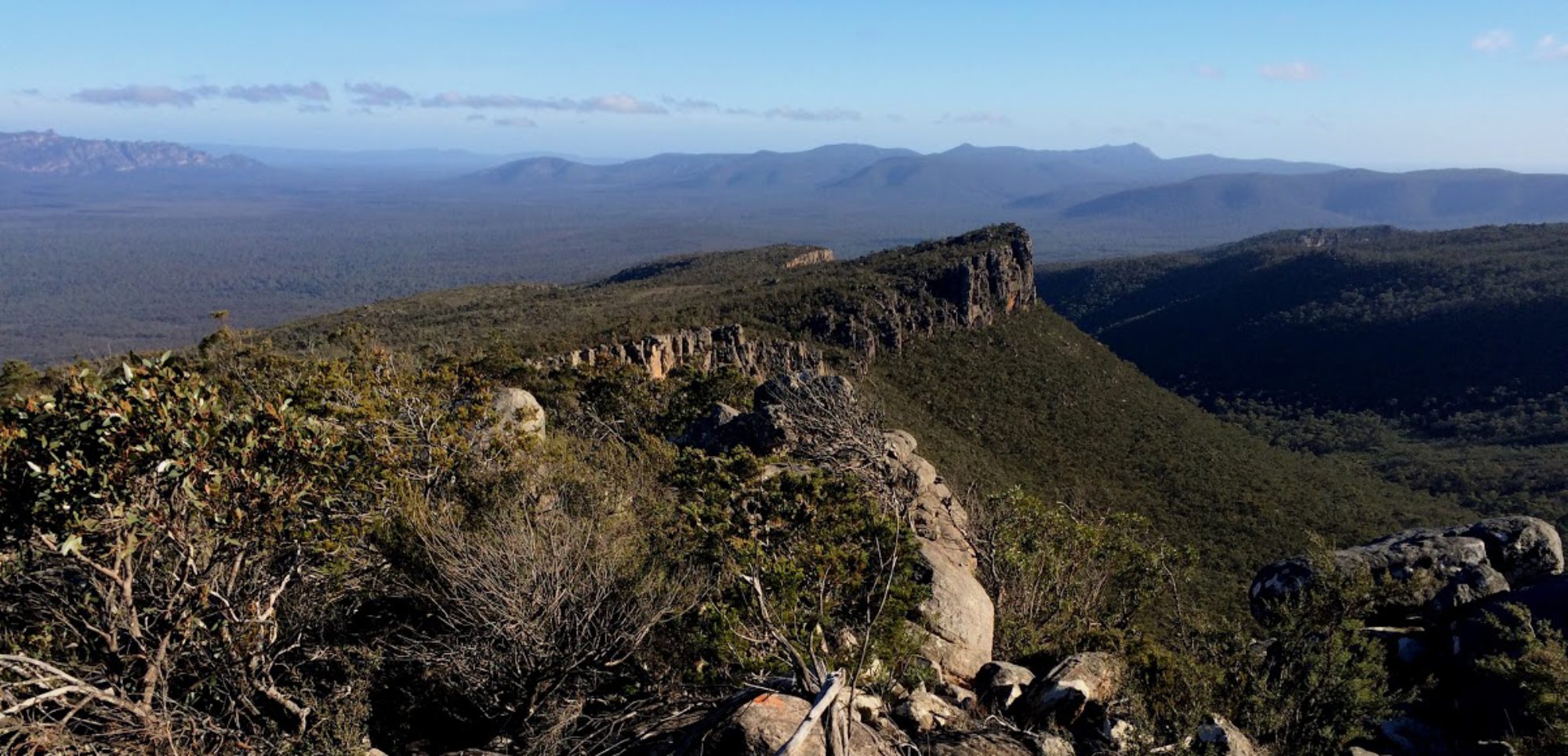
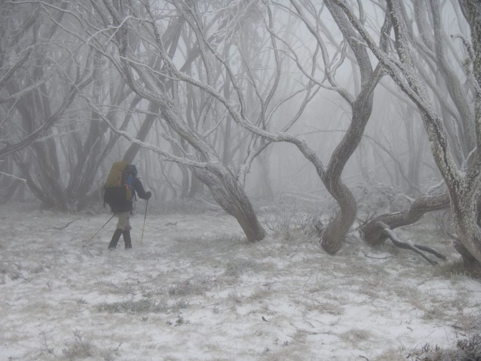
Conditions such as night, poor visibility, white out, foul weather, thick scrub, cliffs and steep or uneven slopes make for very challenging bush navigation. It can be very difficult or impossible to identify terrain features, maintain bearings and to judge distances travelled, especially if fatigue and physical discomfort are also factors..
Nevertheless it is possible to navigate with map and compass in these conditions with care and experience. Two or three group members navigating as a team helps greatly in overcoming the challenges. A mobile phone (weatherproof model) or a handheld GPS unit, with a digital topographic map is invaluable.
It is important that the group stays together in these sorts of conditions. With the leaders/navigators focused on navigation, another group member can be nominated to look after group management..
Under conditions of poor or zero visibility, do not rely on a “sense of direction”. Even when following a well-defined feature, the compass must be checked frequently and heeded. It is advisable to stick to well-defined features as much as possible, e.g. tracks, sharp ridges and spurs. When this is not possible, the map needs to be studied carefully to break the route into short sections. The bearing and distance for each section are used to navigate carefully between points.
Make full use of the navigational techniques such as handrails, collecting features, catching features, attack points, and aiming off. If each stage of the compass traverse is short and terminates at a well-defined point, then any straying off course can be corrected without difficulty.
In poor visibility (e.g. less than 100 m) in featureless terrain, the group should travel in single file with one navigator three or four places from the front, and another at the rear as a check, so that the bearing can be checked by the line of the group itself. Appropriate corrections to the compass bearing can be made by the person at the rear using the front person as the aiming point.
When following snow poles when the next pole cannot be seen, the ‘long cord’ method can be used. This involves sending one person out with the end of a cord which is long enough to reach the next snow pole (usually 40 m). The person moves in an arc until the pole is found, then the remainder of the party follow.
To determine distance travelled under conditions of poor to zero visibility, pace counting may be useful. A pace means a double step, i.e. count each time the right (or left) foot steps. For a person of around 1.8 m height carrying a pack on level ground, pace length would be about 1.5 m, which makes about 660 paces to a kilometre. It would be very unusual to pace count for longer distances.
Navigation in difficult conditions requires lots of practice, which is really only gained by going out there when the conditions are difficult.
Mistakes
Navigation mistakes typically arise through inattention and lack of concentration, and when only one or two variables are used to check position. Even the best bush navigators make mistakes.
A topo map has a wealth of information, much of which may not appear relevant to the immediate location, but is very useful if the current location is uncertain.
For example, two creek junctions may appear to be quite similar, but they can usually be identified by checking the detail of the ridges and spurs surrounding them, the bearings of each watercourse, or by the distance or direction from some other feature.
If a re-assessment is necessary, check:
- Direction of travel, including recent changes of direction
- Distance, based on recent elapsed times and direct estimations
- Terrain features encountered, e.g. number of creeks, hills, saddles etc
- Slope of land – direction and steepness
- Direction/bearing of features, e.g. creeks, gullies, spurs, tracks
- Bearings of prominent visible features
- Relative height or shape of visible features
Be wary of jumping to the conclusion that “the map must be wrong’. Random, overgrown or hard to find tracks are fairly common, but in other respects, topographic maps are highly accurate.
The best way to avoid making mistakes is to practice bush navigation as often as possible. Have the map and compass to hand on every trip. Rogaines are an excellent way to get solid practice with map and compass.